[2019-10-10]
After a peaceful night in a dark park in Zushi, I woke very early, worried about the possible upcoming typhoon. I started checking the news and wrote to my friend, but it was still too early.
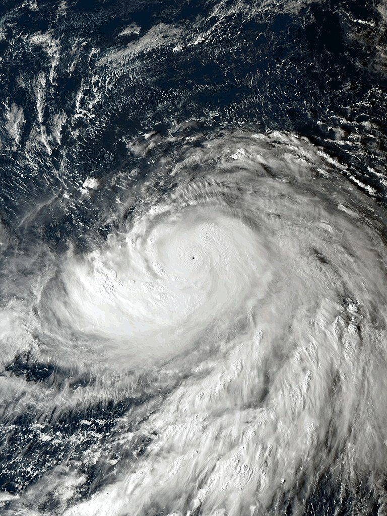
I packed up everything and went for breakfast. Then I received the bad news: The typhoon was coming directly to where I was (the expected path would cross the area that I was planning to cross the following days), and it was catalogued as the ‘worst typhoon of the century’: a hurricane category 5 (like 2005 Katrina).
I didn’t know what to do. I wasn’t prepared for it. I thought the typhoon season was between July and September, so I didn’t expect anything like that.
I was eating at a Konbini while I was also researching and planning to do something about it. At least I had two more days before the typhoon would arrive, but the bad news was that the forecast was for continuous rain – starting at 5 p.m. from that day. So, I had to decide quickly and start riding. I had read about some places across the country called Michi no Eki (Lit. Road Station). They could serve as a last resort to pass the night while traveling. Each one had a rest area, with bathrooms and vending machines. (You can read more about them, here).
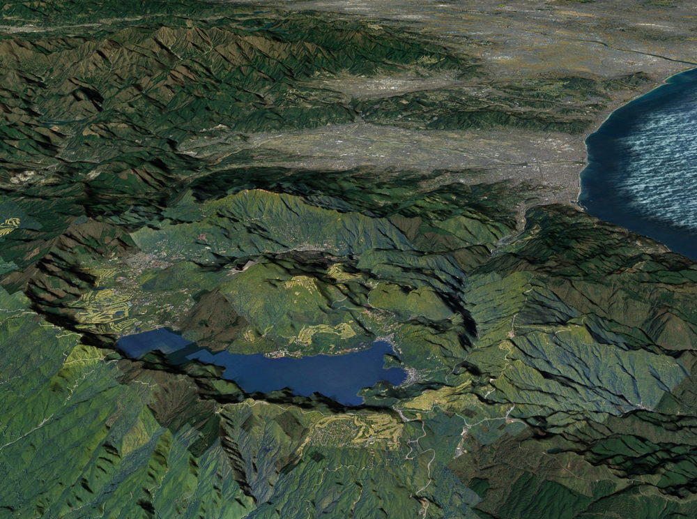
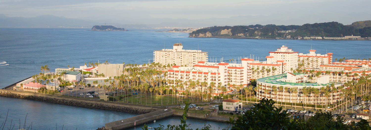
My original plan for those days was to sleep on a camping site on a beach at Oiso (a small town in the Shonan area). From there, I would start ascending Mount Hakone – A volcanic complex with an enormous caldera, a place that has a large lake (Lake Ashi) with other camping sites around it.
I saw on Google Maps a Michi no Eki beside the lake; I could stay inside the resting area of the station, instead of camping.
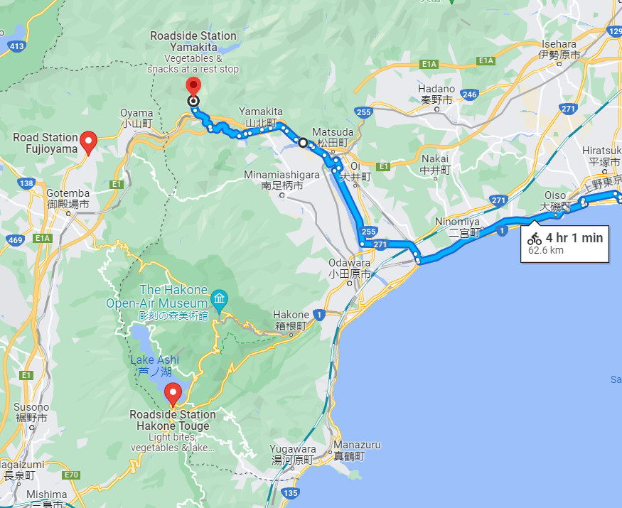
To get to the lake, I had to climb around 800 meters. If there had been no typhoon, I could have done it slowly, maybe taking all day. But I had no time. Additionally: to get to the starting point of the climbing from my current location, I had to ride between 3 to 4 hours. The rain would have started in the middle of the ascent; and also the night. It was an old countryside route, and I would be in complete darkness too.
I searched Google Maps for another Michi no Eki, and it showed three more around the area. The easiest one was at Yamakita (Lit. Northern Mountain). But, of course, I knew I still had to climb a mountain.
But being in the mountains was a relief because the typhoon wouldn’t hit as hard as on the coast.
That morning, I rode as fast as I could across the flat and straight roads of the Shonan coast.
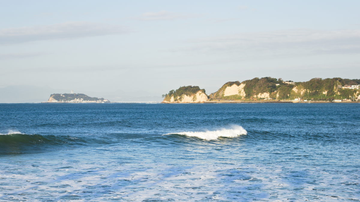
It was a sunny day; I got small glimpses of the beautiful sea, but I just wanted to arrive on time.
Riding those roads, I saw many cyclists in professional gear.
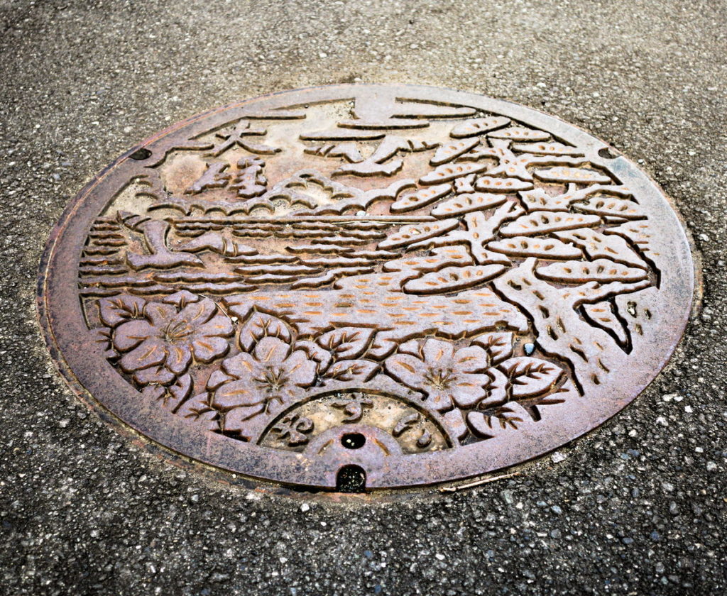
On the way, I got a glimpse of another personalized manhole cover (like the one I spotted leaving Yokohama). So, I just stopped for a few seconds and took a shot without getting off the bike. I had my camera in the front basket for easy access.
I checked the streets the previous day at Kamakura but didn’t find any custom cover. This one was from Oita City, but I think this design could work for any of these places full of stunning views.
After two and a half hours, I arrived at the beach where I initially intended to camp. It was beautiful; it would have been a fantastic experience.
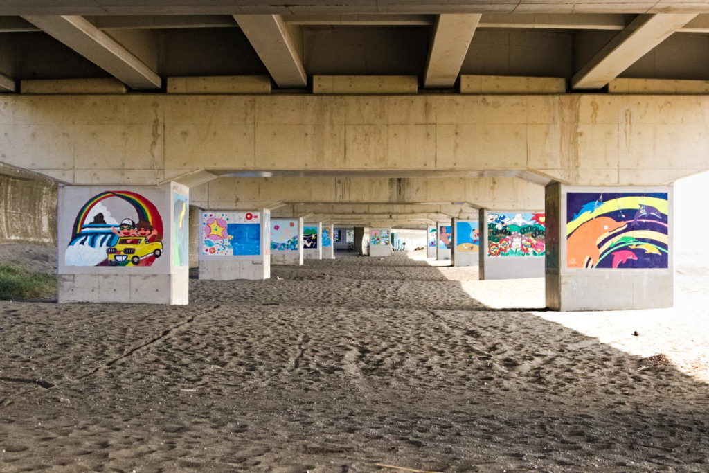
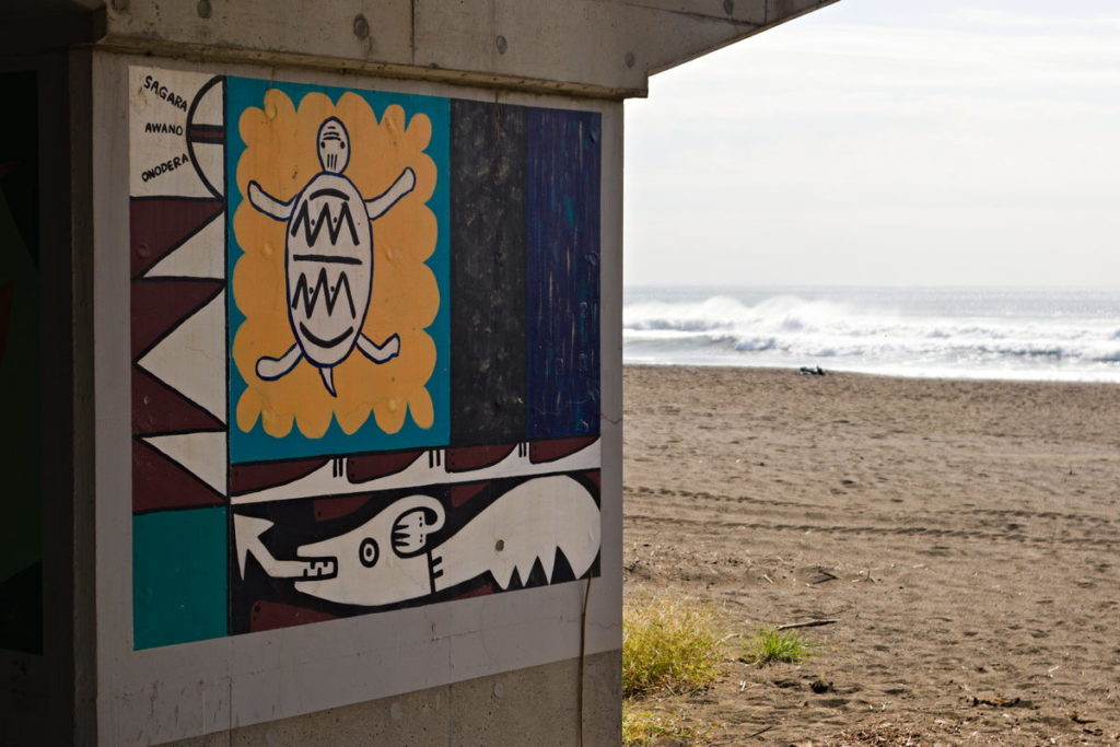
I was heartbroken I couldn’t explore Kamakura and all this area.
Thereon, I started to detour to the north, leaving the sea behind.
It was 11 a.m. already, so I searched for a place to eat lunch before I got to the mountains. I saw on the map a lot of restaurants near a train station (Kozu Station), which was right on my way. I stopped there and looked around.
A problem while traveling in Japan is that most restaurants are only open at specific hours; for example, those around the station open at midday, so I had to wait an hour.
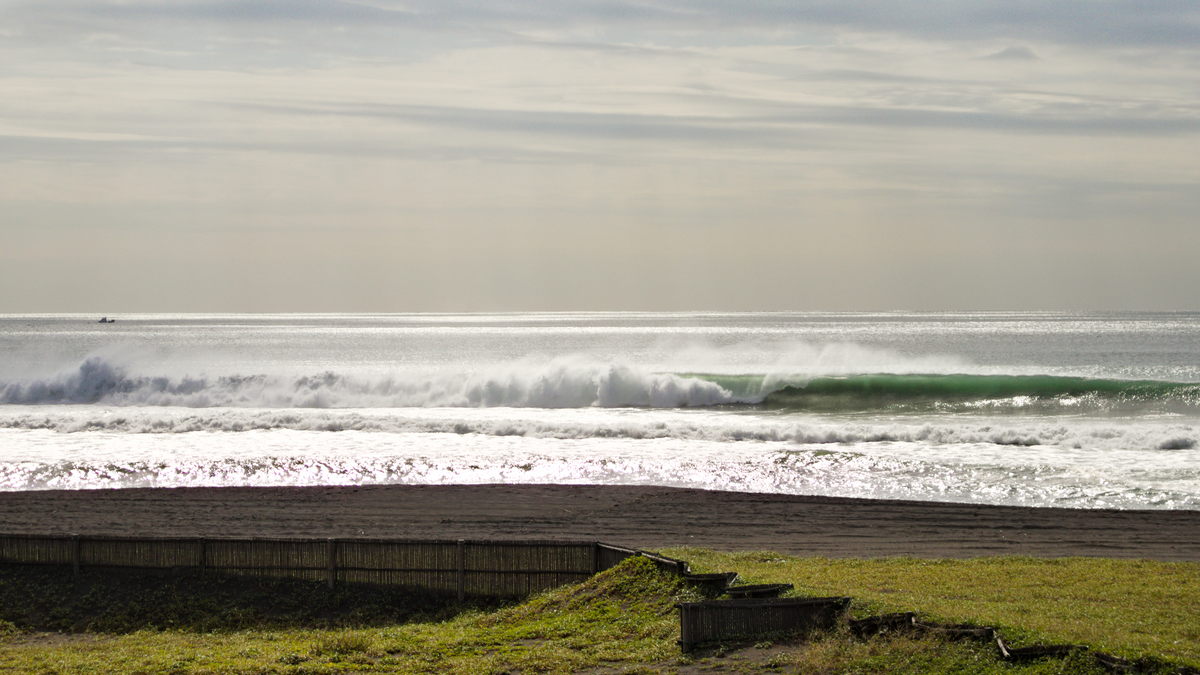
I had found a spot to rest for a while. Suddenly, a loud alert siren blasted on the speakers across the area. It was distressing. A woman’s voice also spoke through them, but I couldn’t understand anything besides ‘Taifu’ (Typhoon in Japanese).
I looked back in the direction of the sea. The sunny day was now a complete and terrifying dark sky. I only thought: “here it is.”
I panicked and packed everything again. And I got out of there as fast as I could. Ignoring my hunger, I rode for my life.
Later on the way, I stopped at a Konbini for a quick bite.
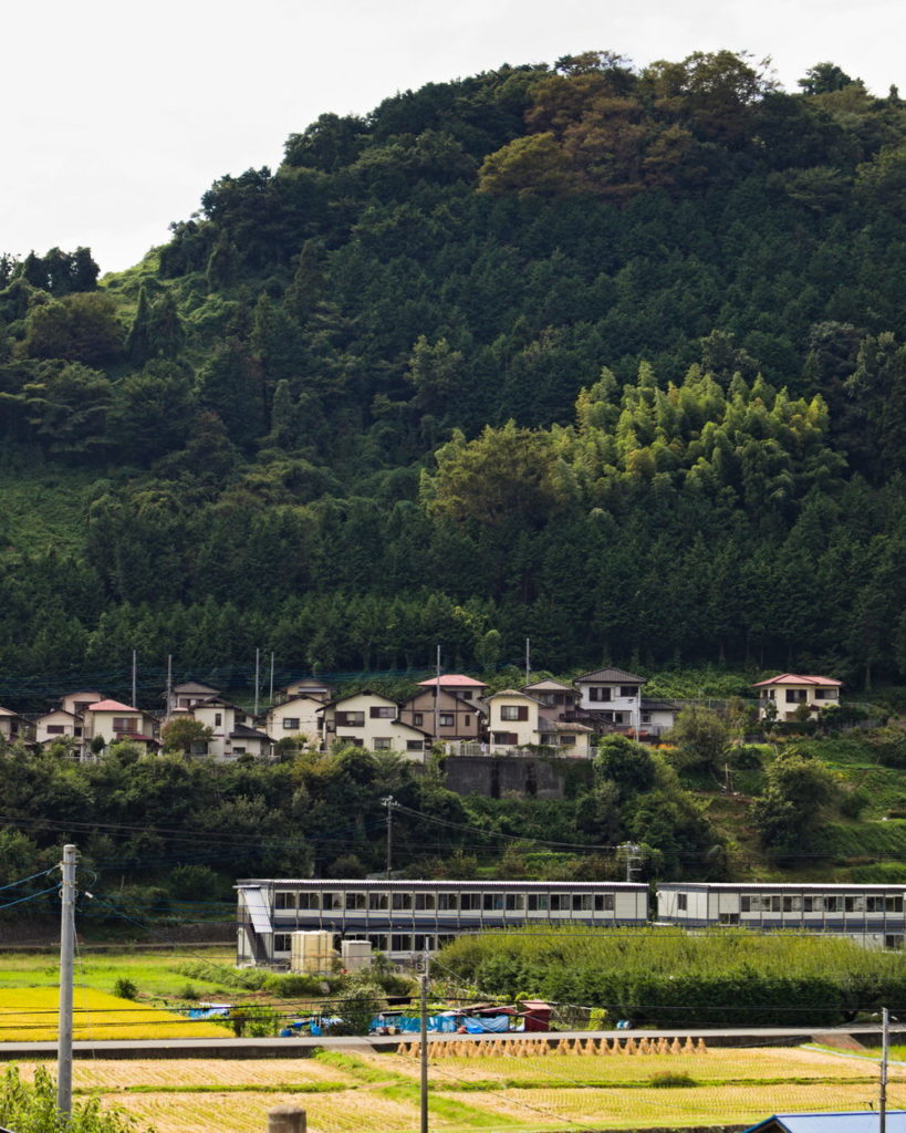
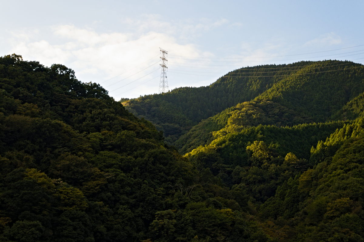
After I left the city area, I started to glimpse the beautiful green countryside.
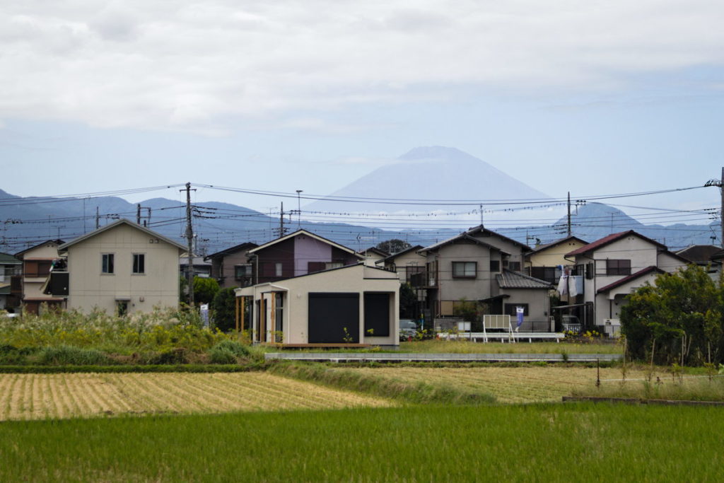
In an instant, I noticed Mount Fuji in the distance. The sensation was incredible. Still, with all that was happening, I felt pleased to be on that journey. It was a dream to see Fuji “so close.” It looked so big.
The mountains were full of woods – they looked like I could find ‘Totoros’ anywhere. I was in love, but at the same time, worried about the rain that was coming. I didn’t know what was expecting me ahead or if I would reach the station with my clothes dry.
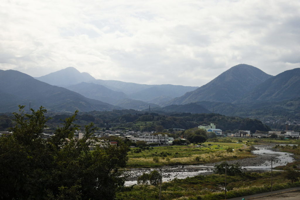
Four hours later, I arrived at the Michi no Eki ‘Yamakita’ before it started to rain. Although I was wet with sweat – I had traveled more than 60km without many stops, and almost half of the ride had been climbing mountains.
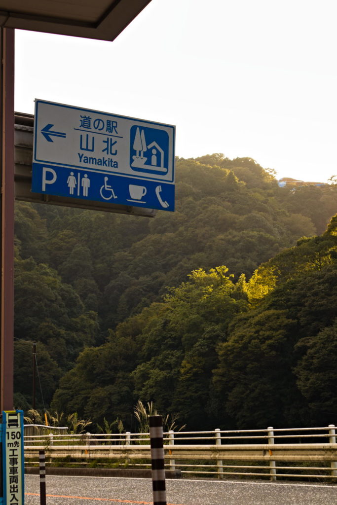
I parked my bike under a little roof and explored around. The place was pretty small, but it looked comfy. It had a small market and a rest area of no more than ten sq. meters. But I would be able to stay inside, protected from the rain, and with access to bathrooms.
I bought some snacks for the night in the small market. The rest area had vending machines but only with beverages.
It started to rain a couple of hours after I arrived (the forecast was accurate). I was safe, but there was nothing to do around. To remain in that small space for three days until the typhoon passed over was a tedious panorama.
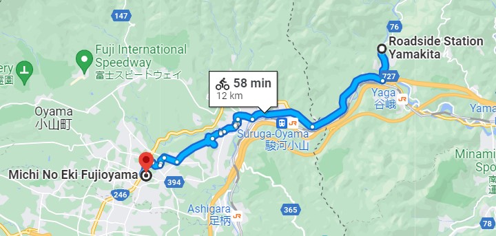
I checked on Google Maps, and a larger and more attractive Michi no Eki (Fujioyama) was only 11.4km away. I hoped I would be able to move to it. I would try to reach it in the morning if the rain stopped for a while.
Don‘t hesitate to ask any questions in the comments below.
Leave a Reply